by Peter, December 2018
community science platform + network:
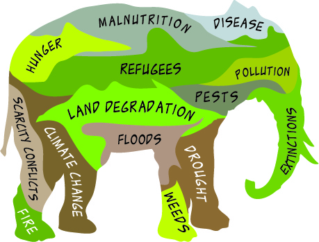
Purpose: to connect local concerns such as water, air, agricultural productivity and resilience, human health and quality of life, social and economic conditions (these form a continuum), with each other and to landscape function.
To broaden, deepen, and diversify the constituency for soil health and watershed function.
To connect intention with agency via feedbacks and time-series observations.
To provide some scaffolding for a variety of user interfaces on the circle of life (e.g. coupled carbon and water cycling).
To provide an open framework and network for testing and evaluating practices and projects (such as citizen science projects, farmer- and rancher-centered projects, some research projects) as well as a framework for discovery of new possibilities, including the growth of local capacity to do all of the above.
Not a rigid framework or taxonomy, or a data system designed for the convenience and comfort of researchers, or a prediction engine, but a flexible, adaptable scaffolding that supports wide participation, time-series data, local feedback, creativity, and imagination--a shared intelligence on the most powerful geologic force.
- rebuilt atlasbiowork.com web app. As now, offline-capable data entry referenced to a site geometry whether point, line, polygon, easy to add new data forms (such as one for data sources for a project, and easy user-configurable data types), but with project field that can be a data project such as FFA students doing infiltration, a geographic area, or some combination, even a farm, backyard, single polygon. (This would enable more localized versions, with data types to match, and greater adaptability.) Optimized for easy field or desktop data entry, quick and responsive, and with some additional features such as configurable custom emails, e.g. option of emailing the user or project coordinator when it's time to remonitor, with attached pdf of previous observation. The data entry forms function as checklists, and scaffolding for a repeatable observation. The design is oriented toward repeatability over time rather than consistency or comparison from one area to another.
- on the same server using the same back end and data from atlasbiowork.com and with similar login, but an app with a more fully featured map display, search, query, etc. with options to combine multiple data layers (raster and vector) and compare them, for any project, user, or geography, from a variety of sources, upload and download csv files, etc. For example, this could be a URL such as https://atlasbiowork.com/project/x where x could be the unique name or id of a watershed, etc. This will also be the CORS-enabled API from which other websites could load and layer real-time data. This will work on mobile devices but will be mostly used online, larger screen recommended. Links to capacity building, training, some kind of participation-based network. Project coordinators would have admin access for their project_id.
- Open source template for fully configurable layered map display that could work on almost any website and that could combine data layers as (2) above, using your own data plus any other accessible API such as the above.
All three elements will be easily packaged (github) and as needed could be subdivided/customized into smaller geographies, along with support for growing capacity to work toward the purpose. Data could be locally labeled, branded, or even hosted. Open-source, with lists of people who could provide technical support or facilitation for connecting local concerns with landscape function.