- bring the Soil Carbon Challenge (site-specific baseline measurements of soil carbon) to the San Joaquin Valley
- develop capacity in SRT and in local high schools to make repeatable observations around soil health and watershed function
- promote the possibility of a shared, evidence-based understanding of soil health and watershed function in the San Joaquin Valley, and learn what works for this
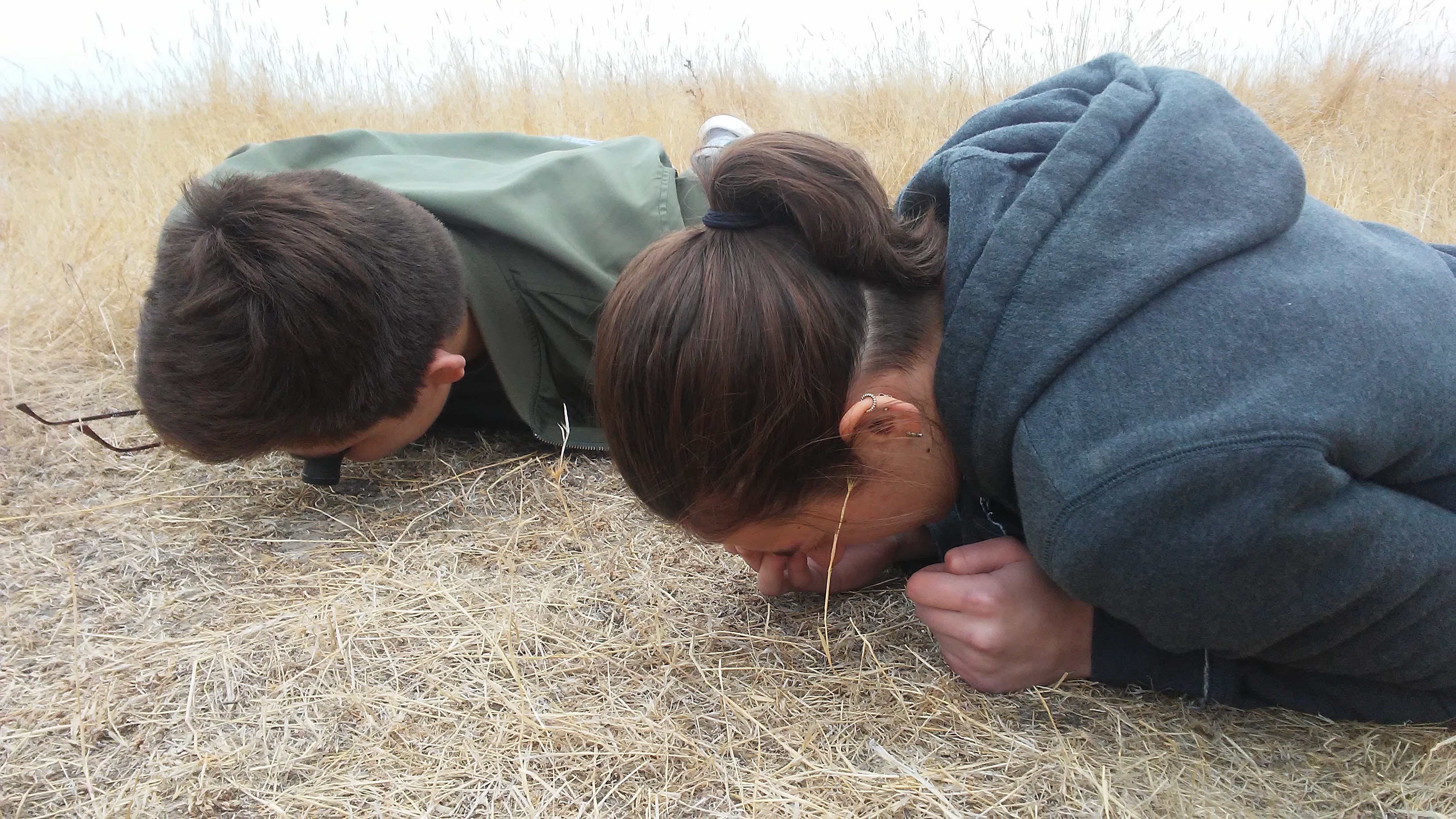
 Students get up close with the soil surface and litter.
Soil health and watershed function (for example, covered, living soils with good aggregate structure) in turn is the underlying issue for air quality, water quality and availability, nutrient density of food, the economics of agricultural production, and the maintenance of biodiversity. The soil carbon sponge is also a significant factor in adapting to climate change, and has a role in mitigating it as well.
Project-based learning
SRT education and volunteer coordinators Bud Darwin, Sam Weiser, and Dana Everhart, met several times with Didi Pershouse prior to our residency to plan the school-based portion of this project. The SRT team then visited 7 local schools where they engaged students with a PowerPoint presentation and the “Bread vs Flour” investigation of soil aggregate structure (from the Understanding Soil Health and Watershed Function manual) to show the effect of soil aggregation and a healthy soil carbon sponge in prevention of flooding, drought, and erosion. The SRT team then interviewed students and selected 40 of them to participate in a year-long project, along with science and agriculture teachers, as advisors.Didi Pershouse led two day-long interactive workshops for these students and advisors at Kaweah Oaks Preserve, assisted by Peter Donovan and SRT education staff. These workshops included several participatory exercises that engaged the adults and students alike in non-hierarchical shared learning processes, including a decision making exercise in which they tried addressing a complex situation by working on parts vs. wholes, using an example from Zimbabwe with a climate somewhat similar to that of the San Joaquin Valley. Participants first tried tackling food shortages, drought, health issues, conflicts over resources, and ant infestations by dividing up into “agencies” and coming up with expensive plans for hospitals, militias, well-drilling, international food aid, and insecticides, then regrouped to discuss the socioeconomic implications of these approaches. Then they learned how to look at a landscape as a whole, with flows of water, carbon, and nutrients, and saw before and after photos that demonstrated how 20 villages in Zimbabwe had addressed those same issues (far more effectively and economically) by reproducing natural soil and watershed function by changing their approach to grazing and working together on community goals.
Participants also got to experiment with how water moves into aggregated vs. unaggregated soil using a rainfall simulator and simple infiltration testing equipment, and took a look at the rhizosphere around living roots with a 5x loupe.
Everyone then took turns framing questions based on what they had learned that day—questions that they were interested in continuing to pursue. We purposefully didn’t answer them: This approach creates space for curiosity to linger in the air after a workshop, to motivate further discussion and participant-driven research projects. Some of the questions:
- How do we identify the impacts we have left on the earth?
- Why does healthy land change? Is it just because of less rain?
- How do we keep the rain water in the ground?
- How can we shift education so that during high school and after, young adults are already involved in making a change?
- How do we get farmers to be involved in the change?
- How do we map this knowledge?
- Are there more efficient ways to use water or reduce our demand for it in the livestock industry and processing plants?
- What is happening underground if the above ground systems are not working?
- What are other ways we can make the Central Valley cooler in temperature?
- How do we do this research within communities, not just scientists?
- As a team, how are we going to advocate to the community?
- How can we grow crops without machines?
- In societies that practice monoculture how do we increase diversity of crops?
- How would monoculture farmers react to this idea?
- What are the things we can plant to change the soil so that more rain soaks into the ground?
- After all the snow melts and goes into Kaweah Lake, why don't we get all that water in the central valley and utilize it more efficiently?
- If plants can do all this, how can we help the plants?
- How do we take small successful steps?
We provided printed examples of our free downloadable documents (soilcarboncoalition.org/learn):
Understanding Soil Health and Watershed Function, a 146-page activity guide for teachers that unites these cross-cutting new contexts to the Next Generation Science Standards, Common Core, and National Agricultural Education Standards, and Some Field Methods, a detailed guide for making repeatable observations of soil health and watershed function.
Establishing some monitoring locations
Over the next two weeks, Peter and SRT staff set up 7 Soil Carbon Challenge monitoring plots on 4 parcels owned or managed by SRT, each with groups of 3-5 students from a single high school, in order to build capacity for the students to set up plots on their high school campuses.Locating each plot involved considerations of representativeness, ease of relocating the plot, and management plans. Students participated in all aspects of these monitoring plots:
- establishing a recordable location using permanent landscape features such as treated or steel corner posts, tape, compass, and GPS
- repeatable photography and sketch maps
- observations of soil cover, including 5x loupe examinations of soil surface litter
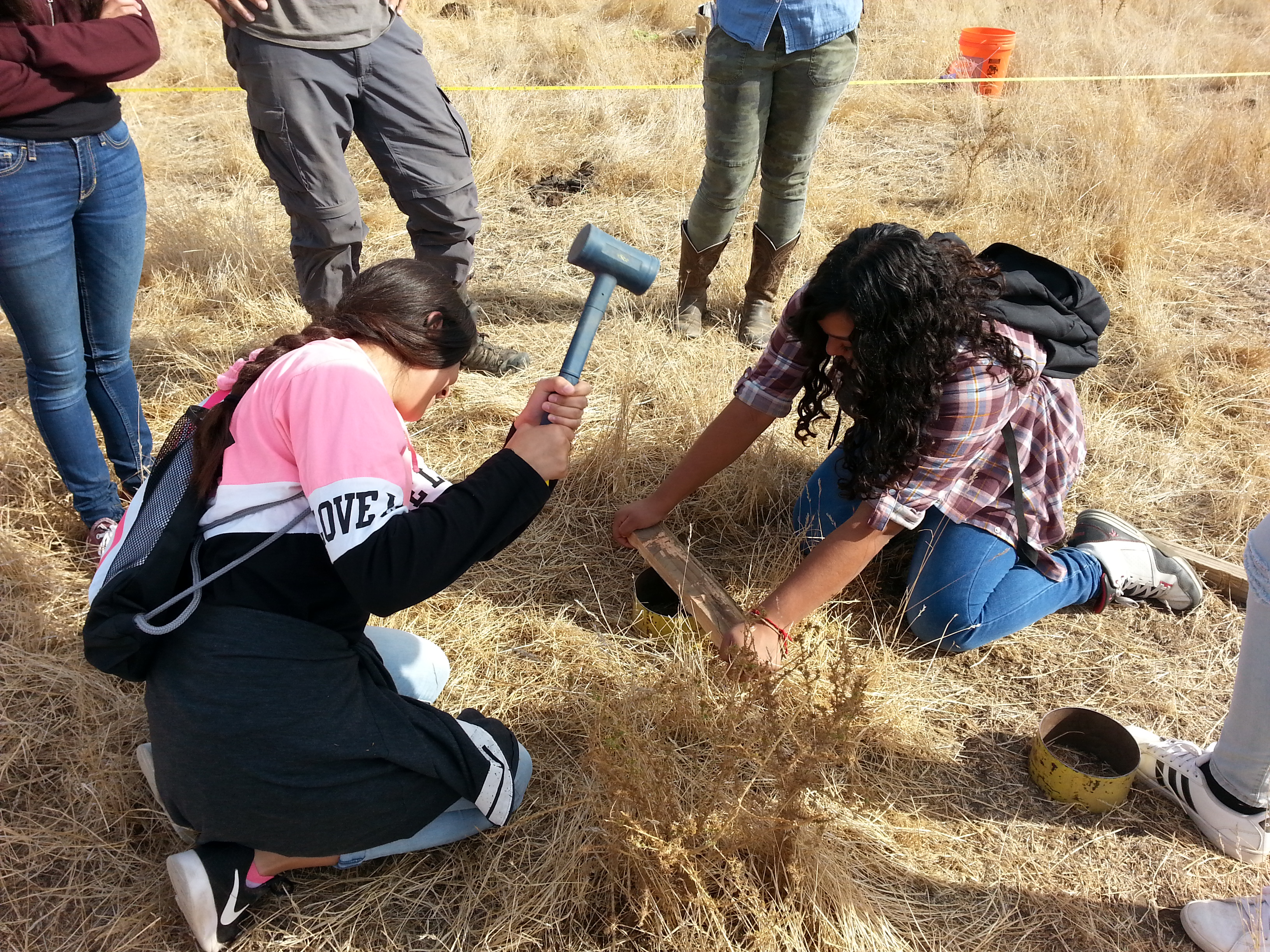
- timing water infiltration through 6-inch steel rings
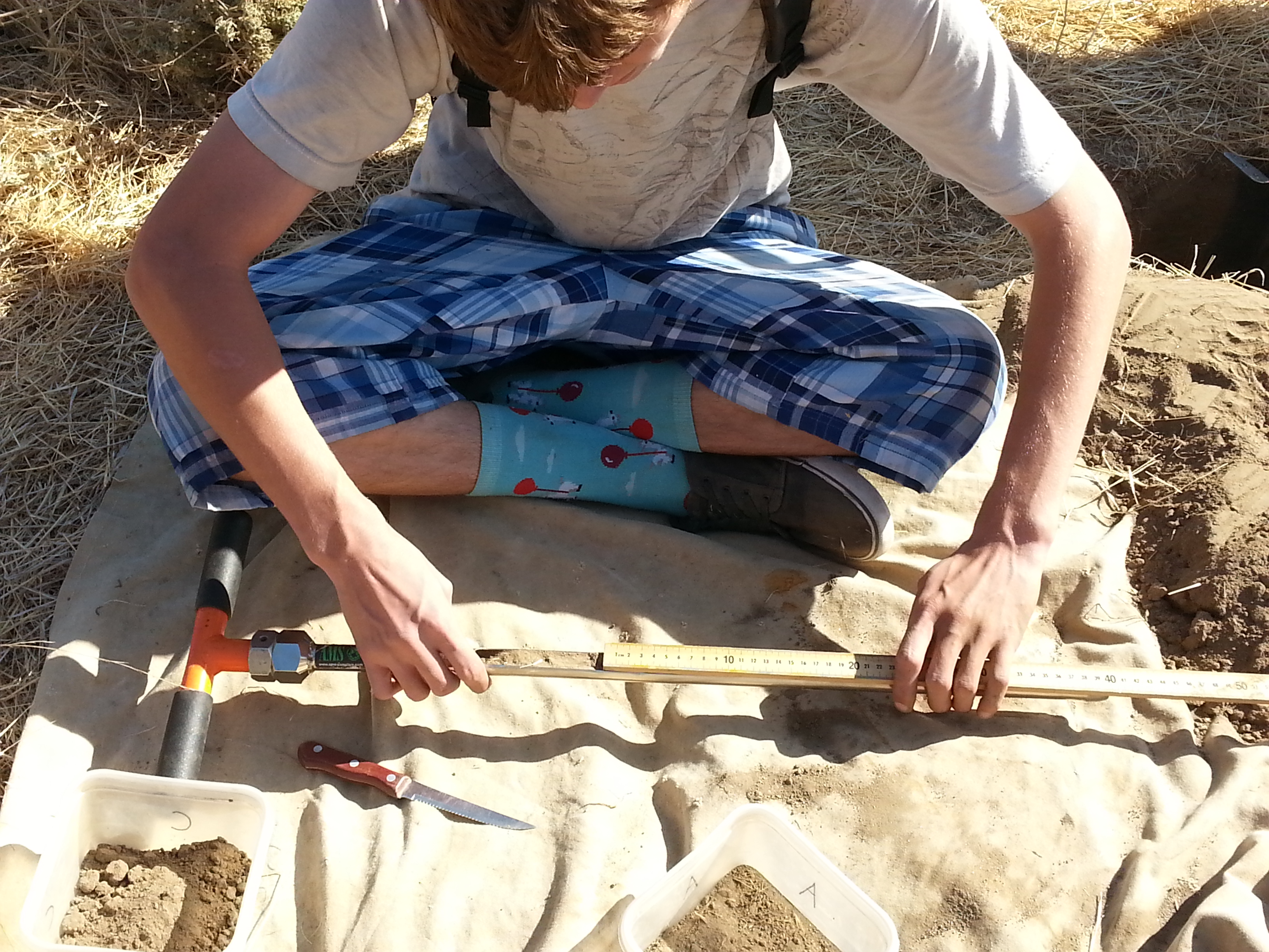
- precision soil core sampling on a grid for repeatability, and sectioning of cores by layer
- sampling for soil density by layer
 Compositing core samples by layer for carbon analysis.
Community Engagement
In addition to the 40 or so students we engaged with over the residency, Peter connected with some local landowners, ranchers, farmers, and agency personnel. A day with one of SRT's farmer board members and Soil Carbon Coalition board member and agronomist Patrick O'Neill, helped raise the issue of land fallowing in the San Joaquin Valley, and the possibilities or opportunities of providing soil cover, grazing, and economic return on formerly irrigated land, where Peter and Patrick established a Soil Carbon Challenge monitoring plot.
atlasbiowork.com/sites currently shows a map of the last 50 sites established, including 10 in the Tulare County area during this residency. This open-source web app for data entry and mapping is part of Soil Carbon Coalition's developing platform for promoting a local, open, evidence-based, and participatory understanding of both situation and trend for soil health and watershed function (carbon and water cycling).
 Driving infiltration rings to measure how well the soil accepts water.
We hope to follow up this residency with continued engagement and coaching. This residency with SRT is an example of what we can offer to interested local groups.
Recent Posts
Archive
Categories
- Events (2)
- policy and framing (23)
- ruminations (3)
Tags
- atlas (2)
Authors
- Peter Donovan (137)
- Didi Pershouse (3)