Viewing posts from February, 2011
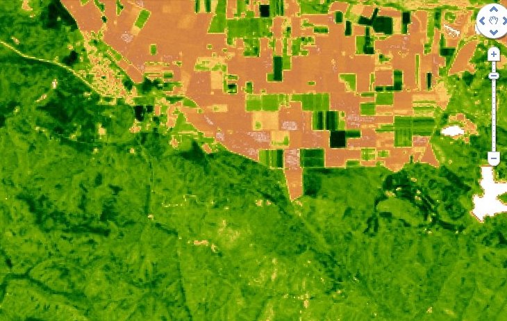
Google Earth Engine displays satellite data on energy flow
Posted by Peter Donovan 14 years, 11 months ago A 32-day Landsat EVI composite image from Google Earth Engine showing San Juan Bautista, California, from April 7 to May 9, 2010. The town is at upper left. The tan-colored areas, upper center, are farm fields. The darker green areas on the bottom are pasture lands and woodland.
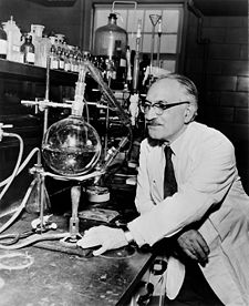
Selman Waksman's HUMUS: Origin, Chemical Composition, and Importance in Nature (1936)
Posted by Peter Donovan 14 years, 11 months ago |
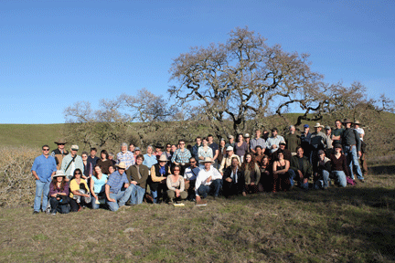
California Grassland Carbon Challenge: What we learned, advice for moving ahead
Posted by Peter Donovan 14 years, 12 months ago| photo by Carol Hirashima |
 |
Recent Posts
Archive
Categories
- Events (2)
- policy and framing (22)
- ruminations (3)
Tags
- atlas (2)
Authors
- Peter Donovan (136)
- Didi Pershouse (3)